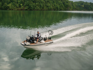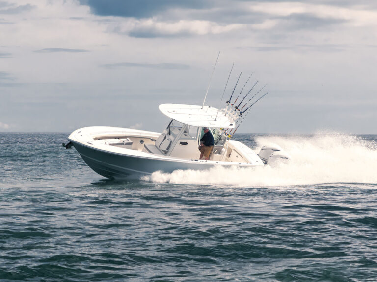
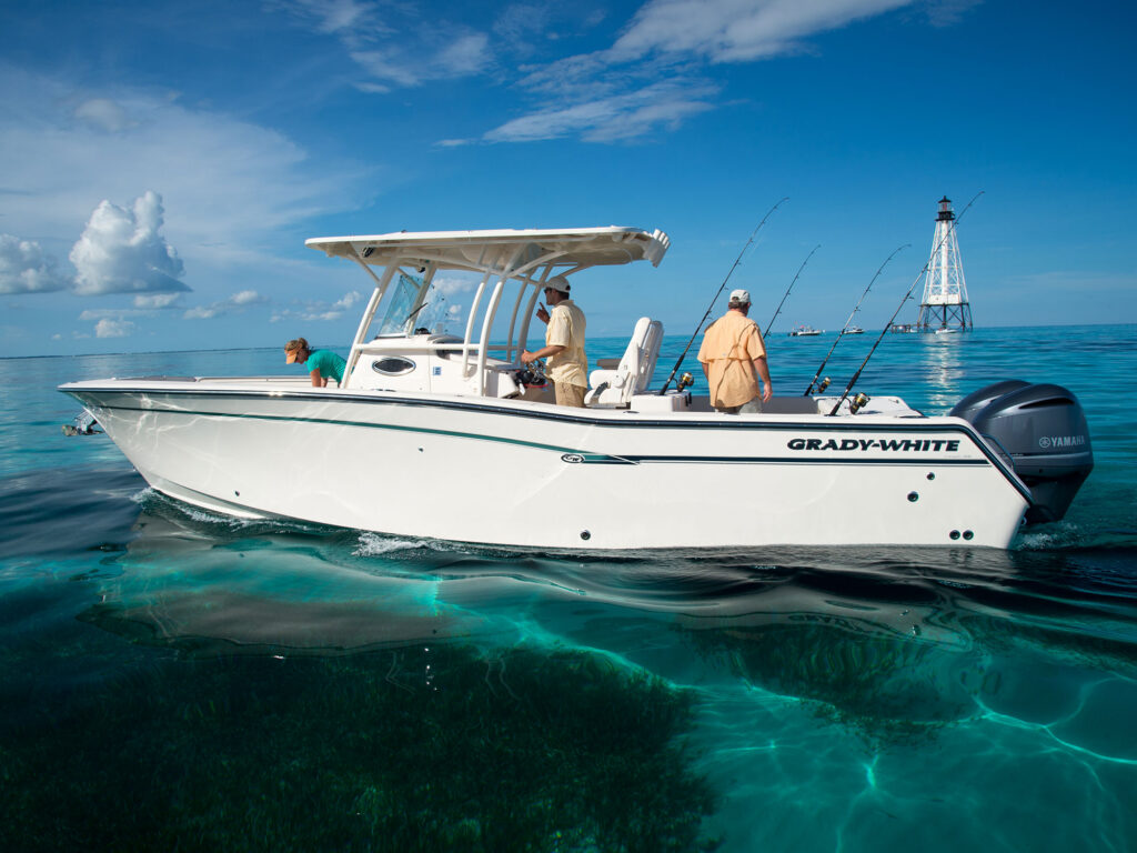
For a long time, running a center console or bay boat meant making peace with a real trade-off. Furuno’s navigation and fish-finding technology has historically been out of reach for smaller-boat owners, with the flagship TZtouchXL units sized for larger platforms and priced to match.
Furuno’s new TZtouchE Series and TZMAP multi-function displays are available in 9-inch and 13-inch configurations, and both are built to fill the spaces where bigger units simply won’t go — towers, second helm stations, overhead console boxes. According to Jeff Kauzlaric, Furuno’s Advertising and Communications Manager, the driving force behind both product lines came directly from customer feedback. “Over the years, one of the requests we have heard from customers is for us to have an entry level product that functions like our flagship TZtouchXL MFDs, but that comes in a size that fits on smaller vessels and in smaller spaces,” Kauzlaric explained. Furuno responded by delivering exactly that, and making sure the user interface mirrors the TZtouchXL precisely so that moving up to a larger unit down the road requires no relearning.
The price point was an equally deliberate decision. Both series open the door for smaller-boat owners to enter the Furuno ecosystem at a cost that wasn’t previously possible.
What TZ MAPS Brings to the Chart
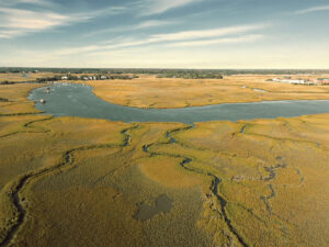
Cartography is often where MFD comparisons get decided, and both series run on TZ MAPS technology. The standout capability is BathyVision, which renders depth contours at a resolution of three inches. Standard vector charts provide a general picture of bottom structure. BathyVision converts that into a high-resolution topographical chart with terrain shading that reveals ridges, drop-offs, canyons, and hard structure in genuine detail.
For serious anglers, that difference matters on the water. Those subtle transitions in depth and bottom composition are precisely where fish concentrate. The captain running BathyVision can identify structure that a conventional chartplotter at standard resolution may never show.
The community-sourced data layer adds another advantage. Other captains transiting the same waterways can edit chart objects, upload harbor photos, and attach comments directly to the chart. Kauzlaric compared it to how Waze functions for drivers, with a thumbs-up and thumbs-down rating system that keeps the contributed data accurate. Local knowledge from experienced captains appears directly on the display without a VHF call.
Both TZMAP and TZtouchE ship with the complete NOAA vector chart catalog for the entire United States at no added cost, meaning a new owner can simply power it up and be underway immediately. Premium TZ MAPS charts with BathyVision and terrain shading are purchasable directly through the MFD. For TZMAP9 and TZMAP13 units, owners can unlock their first chart area for just $150. On the TZT9E and TZT13E TZtouchE models, chart areas are $263.
Choosing Between TZMAP and TZtouchE
The two product lines share the same cartography platform and operating interface, but they serve different installation requirements.
TZMAP is a stand-alone MFD. It operates independently without a connection to other displays, and it supports the core sensors most captains depend on: radar, satellite compass, and a transducer for the internal Fish Finder. For nearshore fishing or inland waterway navigation where a single display covers the helm, TZMAP handles the job completely.
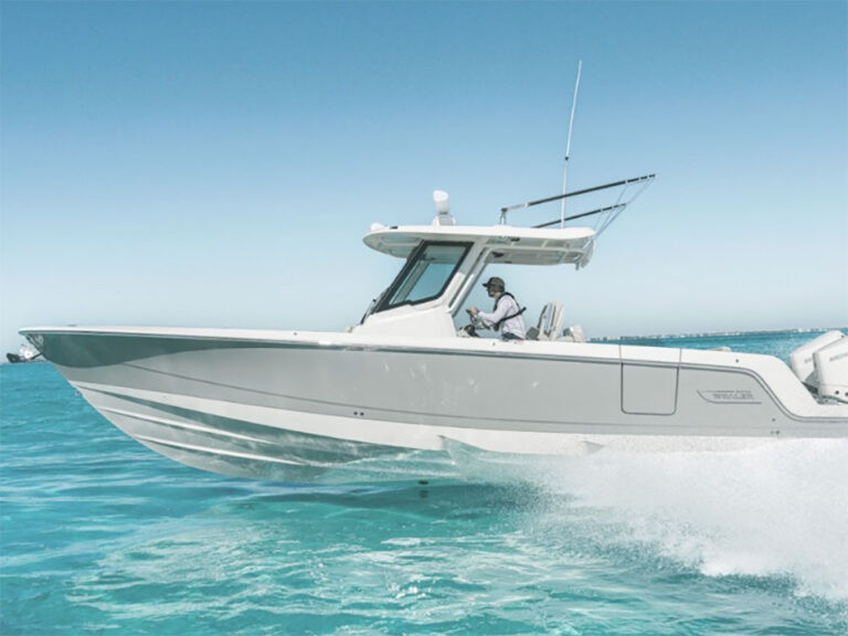
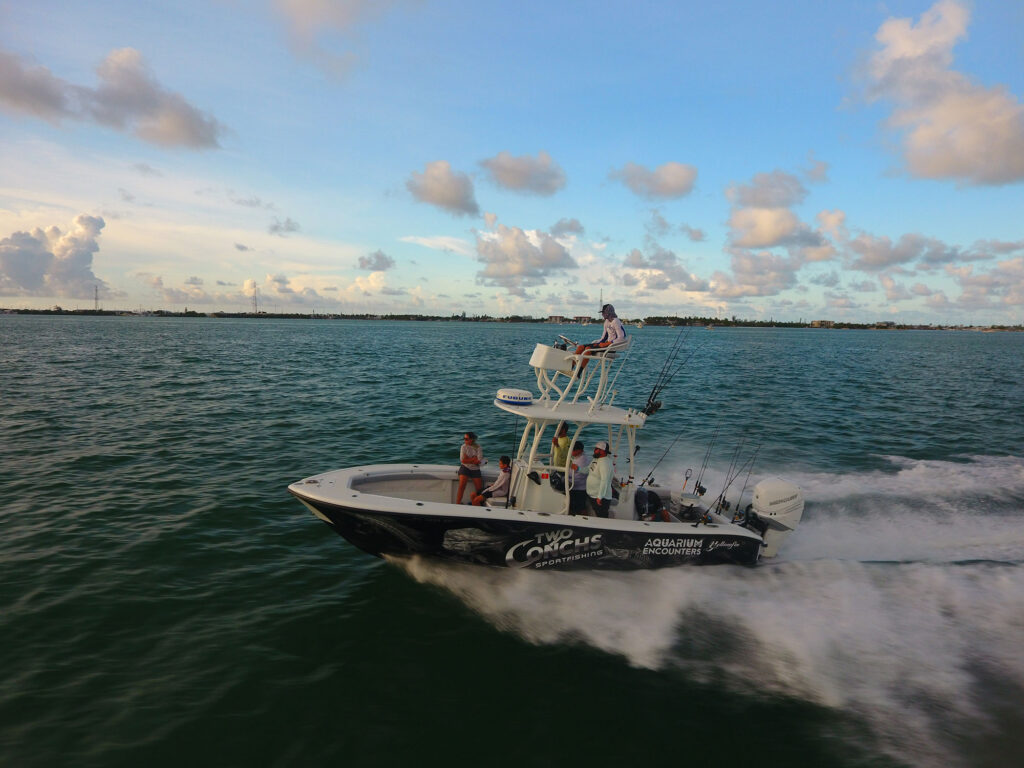
TZtouchE builds on that foundation with full networking capability. These units network with other TZtouchE displays and with existing TZtouchXL systems, making TZtouchE the right choice for multi-station helm setups or any installation that requires integration with a larger radar array or more powerful network fish finders. The compact 9-inch and 13-inch footprints also solve a practical mounting problem: TZtouchXL models with their hybrid keypads sometimes won’t fit in tight positions like tower helms or overhead boxes. The TZtouchE units will.
TZtouchE also enables two collision-avoidance features unavailable on TZMAP: Risk Visualizer and AI Avoidance Route, both of which require a networked NXT Radar.
Risk Visualizer continuously evaluates the vessel’s position, speed, and course against surrounding radar targets, whether moving or stationary. When the system identifies a potential collision threat, it generates an alert immediately, removing the need for the captain to manually interpret radar returns. For captains stepping up from boats without radar, the feature translates raw target data into clear, actionable information.
AI Avoidance Route goes further. Once a threat is flagged, the system plots a temporary corrective route to clear the hazard, factoring in chart depth data, vessel position, speed, and draft. The recommended course correction is based on comprehensive data analysis rather than relying on the captain’s split-second judgment alone.
Fish-Finding Performance
Both series include an internal Fish Finder capable of either single-channel TruEcho CHIRP or classic dual-frequency CW at 50 and 200 kHz, with output up to 1 kW. Built-in CHIRP Side-Scan is standard at either 230 kHz or 455 kHz, and the internal unit incorporates feature sets drawn from Furuno’s dedicated higher-end Fish Finders.
TZtouchE expands those capabilities significantly through networked black box Fish Finders. The DFF1UHD+ provides 1 kW dual-channel TruEcho CHIRP. The DFF3-UHD scales to 2 kW, 3 kW, or 10 kW output depending on transducer selection, putting it squarely in offshore-grade territory.
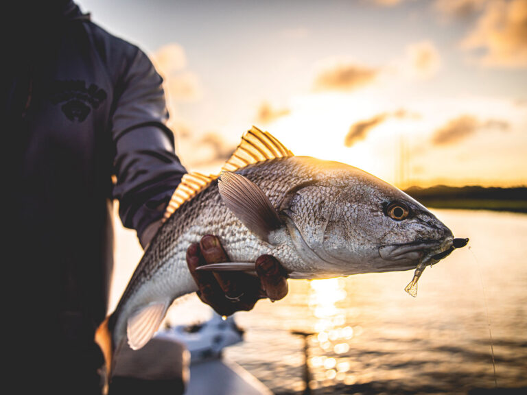
The DFF3D Multibeam Sonar operates in a different category altogether. It displays returns from beyond 980 feet of depth and more than 650 feet to either side of the hull, providing 120 degrees of coverage from port to starboard. For tournament anglers who need to know exactly where in the water column fish are holding and which side of the boat to work, that lateral coverage changes the approach entirely.
At the top of the range, TZtouchE supports integration with the CSH10 Omni Sonar, a system purpose-built for high-end sportfishing and tournament applications. It delivers a 360-degree real-time sweep of the water column, designed specifically for locating and tracking pelagic species.
The Bottom Line
Furuno has addressed the gap that kept smaller-boat captains out of their product lineup. The TZtouchE and TZMAP series deliver flagship-level navigation, charting, and fish-finding capability in form factors that fit the vessels that have always needed them most. The choice between the two comes down to mounting space, sensor requirements, and whether integration with a larger helm network is part of the build. Either way, the technology is no longer out of reach.