Side-scanning technology, in its basic form, shows the bottom and water column off both sides of a vessel at programmable distances or, if desired, strictly off its port or starboard side. It also provides imaging from directly beneath a vessel. This technology continues to evolve, with enhancements like 3D imagery and numerous brand-specific features touted to deliver unparalleled readings of underwater environments and game fish. These advancements aside, here’s a look at how side scanning is put to good use in fishing situations.
Day Saver
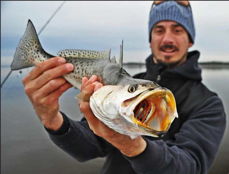
My best side-scanning experience occurred when Harry Vernon III and I were yellowtailing off Bimini in 75 feet of water. We’d always caught yellowtails here, but this day was different. Green water and predator fish (cero and king mackerel, amberjack, horse-eye jacks and barracuda) ruled the chum slick.
We kept the rods bent, but not on yellowtail. A couple of hours later, I contemplated a move. I turned on my electronics, began playing with my StructureScan, and noticed a ball of yellowtails holding 35 feet directly off the port side. I pitched a silverside-tipped yellow jig up-current of them, let it drift back, and instantly scored. The ’tails had been gathering away from the predators within the chum slick. Had it not been for StructureScan, Vernon and I would have missed out on a solid yellowtail bite.
Got Bait?
Whereas short scanning distances enhance water-column details, maximizing scanning distances proves beneficial in open water. David Wicker, king mackerel and bottomfishing specialist from Wilmington, North Carolina, uses Simrad’s latest Active Imaging 3-in-1 Sonar (CHIRP, SideScan and DownScan with FishReveal transducer). “The six-element transducer works in conjunction with an Evo3 system,” Wicker says. “This system delivers even sharper, more precise imaging of both fish and structure throughout its entire 300-foot range.
“For pogies, prior to sunrise and before they start flipping, we’ll scan at a full 300 feet in both directions,” Wicker says. “This helps tremendously in procuring bait for our king mackerel efforts. And for bottomfishing, the entire bottom structure or wreck comes into such a highly detailed view, it really has to be seen to appreciate. You can look for bait and fish on and around a wreck, or determine precisely where to anchor.”
Northern Approach
New England’s Terry Nugent uses his Raymarine RealVision 3D and CHIRP SideVision to keep tabs on striped bass that have sounded. “If we’ve been chasing birds and catching stripers off of them, and then the birds go up and the bass go down, this is what keeps us dialed in,” Nugent says. “We’ll troll or zigzag until we mark them on the SideVision. If I mark fish to the left side of the boat 15 feet down, I instruct my anglers to pitch a jig or bait to that spot. What’s more, I can rotate my boat on the screen to obtain different angles of what I’m looking at, be it bottom structure, fish or baitballs. What a major advantage in being able to get a complete understanding of what’s going on around the boat.”
By Hook or Crook
Side imaging when cruising or trolling is ideal for discovering new structures.Harry Vernon III structure-scanned a 42-foot sunken boat in Miami’s Biscayne Bay. “A customer showed me pictures of big gag grouper he was catching at night and on a wreck,” Vernon says. “But he refused to take me along. I got enough info on the general whereabouts of his fishing. One night, I laid back in my boat and noted the general area he was in. I went there the next day, made a lot of passes with my StructureScan, and found the wreck. I ended up tearing up the grouper there on many nights. I lost a customer, but scored one hell of a grouper wreck.”
Wreck Tidings
In the Gulf of Mexico, over rock piles off the Marquesas and around shallow wrecks among the Quicksands, my StructureScan 3D helps uncover pockets of bait, fish, and bottom crannies and peaks for which I don’t have GPS numbers. I rotate the boat’s position on-screen for various viewing angles while circling the structures to reveal pockets of bait, barracuda, mangrove snapper and sometimes permit.
Bridge Tight
Capt. Chris Britton, a tarpon and snook fishing specialist based in Stuart, Florida, uses his Humminbird Helix 12 CHIRP SI GPS G2N to locate fish in quick order. “Before this technology, I’d spend a couple of hours fishing a spot, and then move if it wasn’t productive. Now we’ll set up where the fish are, like in cuts and channels, or along the beach, no more guessing,” Britton says. “For tarpon, I’ll stay off to the side and scan 60 feet out. If we mark fish, I’ll slide the machine’s marker over them and learn their exact distance. Then I’ll position the boat up-current of the fish, hold in place by activating the trolling motor’s GPS lock, and drift live baits to them.
“During the mullet run, I’ll parallel bridge shadow lines at night, and side-scan into and beyond them,” Britton adds. “If we don’t mark tarpon, we’ll keep looking. For bridge snook, I’ll scan between the fenders. When the tide’s running, the fish nestle back in there, out of the flow and in good ambushing spots. When I mark snook, I’ll position up-current and pitch baits to them.
“And when I mark tarpon along the beach, I just get ahead of them with the trolling motor, then cast an artificial at a 45-degree angle in front of the tarpon to make it look like it’s trying to run away.”
Offshore Too
Given the ultra-high frequencies and limited cone angles, side scanning is primarily a shallow-water asset; it’s usually maxed out beyond 130-foot depths. However, it still has merit out deep.
For tuna on the backside of Cape Cod, Terry Nugent searches between 120 and 150 feet. He utilizes his Raymarine RealVision 3D and CHIRP SideVision to mark bait such as sand eels, herring and mackerel. “Because these waters are relatively shallow, I’ll mark bait as well as tunas,” Nugent says. “We might see one 50 feet down and rising, which gives us the edge, since it allows it to be ready for the strike.”
Even Deeper
Capt. Alan Wenzel scans South Florida and Bahamas weed lines for bait, submerged debris and even dolphin. “The cone angle lets me see about 30 feet deep,” Wenzel says. “It might not seem like much, but what you see often warrants staying around. When dolphin are pressured, they’re likely to stay down. There have been times when we’ve marked them, dropped baits down and caught them.”
Like Wenzel, I use my StructureScan 3D along weed lines. When live-chumming for tuna, like blackfins, we’ll often mark them on the screen. This tells us where to cast a live bait, jig or spoon, particularly while drifting.
The scenarios above are just some examples of how side imaging is becoming an integral part of our fishing. Ponder the ways in which it could benefit your fishing. The game is ever changing; don’t let it get ahead of you.