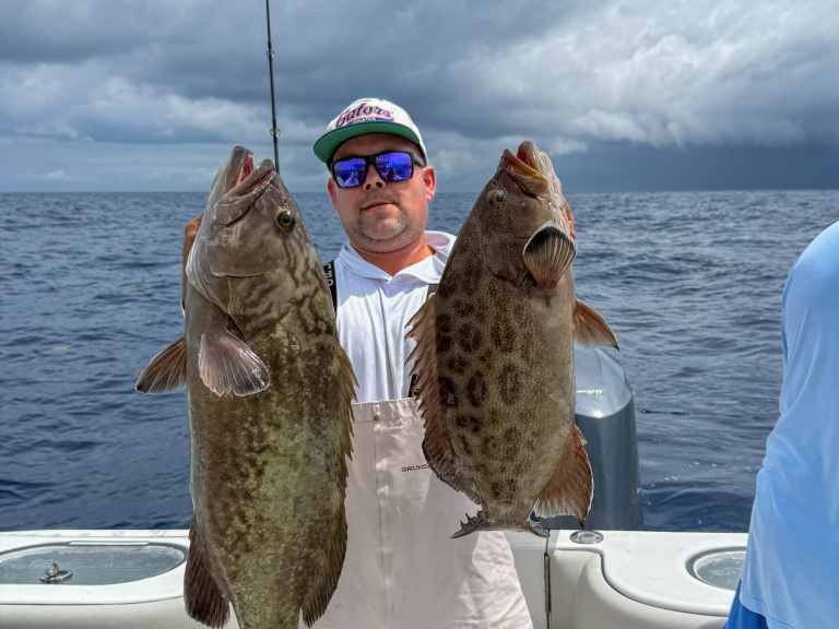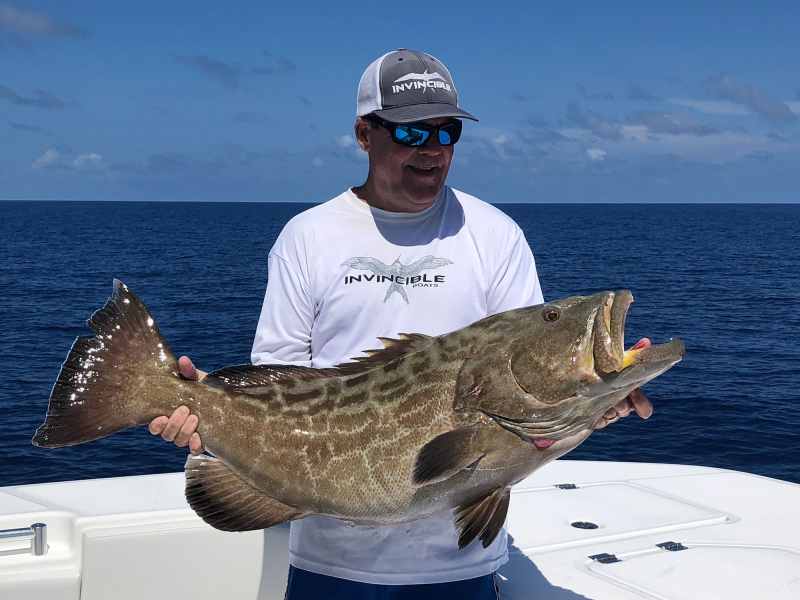
Not many states can match Florida’s remarkable artificial reef program. Since the 1940s Florida has placed over 3,800 sunken ships, piles of rubble, and other fish holding structures around its coasts. The state fisheries folks maintain an interactive website with details on all of them, including where they are located, in what depths, and what type of reefs they are.
The state updates this information every few months and just released its latest edition, detailing which structures have moved and which have been added in Florida waters since January 2022.
“Usually updates are keyed to new reefs that are placed around the state every few months,” says Emily Jackson, a biological scientist specializing in artificial reefs for the FWC. “Reefs that are okayed for sinking by government agencies must be heavy enough and deep enough that they rarely move around much even during hurricanes. So information on them is highly accurate. Sometimes, though rarely, a reef may have a change, and if we verify that, we include it in our updates.”
The state has several helpful web-based tools to allow anglers to locate potential hot fishing spots, and the website is very interactive and responsive. It allows anglers to zoom in to various portions of the state, so that access to coastal inlets and passes can be established long before a day offshore is planned.
Once a region is selected, an angler can zoom to that area, and then continue closer inspection of a specific reef spot.
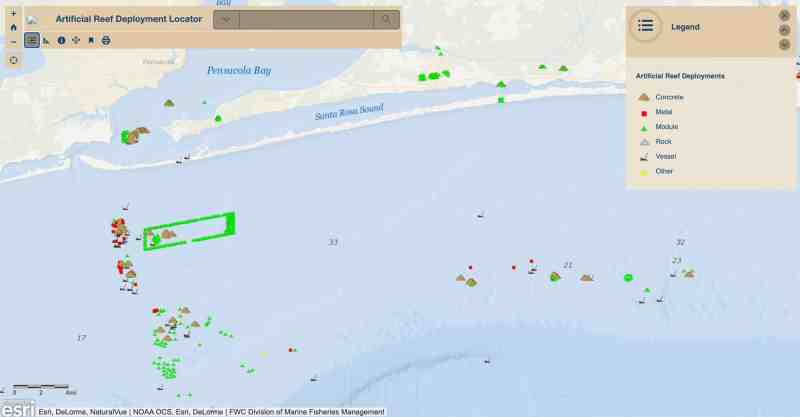
On the website great detail is provided once an area is chosen for fishing. By scrolling to the Panhandle, for instance, a large array of reefs shows off Pensacola and Destin. By zooming to a specific reef – say the Joe Patti Memorial Reef off Escambia County near Pensacola – it quickly is learned by a website pointer that the reef is in 50 feet of water, offering 15 feet of relief off the bottom. Joe Patti consists of a 440-ton barge that was sunk in July 2013. Precise navigational coordinates specify its location.
Dozens more reefs are shown off the Pensacola area, with as much detailed information as the Joe Patti Reef. This allows anglers to easily set up a day of reef fishing, targeting several reefs in close proximity to each other.
Thousands more reefs are shown on the state website map, from Pensacola east and south through the Big Bend country, along the coast off Clearwater, Tampa, Charlotte Harbor and to the Ten Thousand Islands.
The reefs along the East Coast of Florida are shown in similar exacting detail, with abundant clusters of fishing reef sites off Jacksonville, St. Augustine, Daytona Beach, Stuart, Palm Beach, Ft. Lauderdale, Miami, and along the Atlantic side of the Florida Keys.
In addition to the interactive website, PDF and Excel downloads and print outs of all the reefs can be made off the state website so physical copies of reef locations can be had. Further, GIS shapefile and .kml files can be taken from the website.
I checked some of the reefs I’m familiar with against GPS locations I have filed and they agree on the locations and names. While this sure isn’t a thorough test, it shows the accuracy of the state reef site listing.