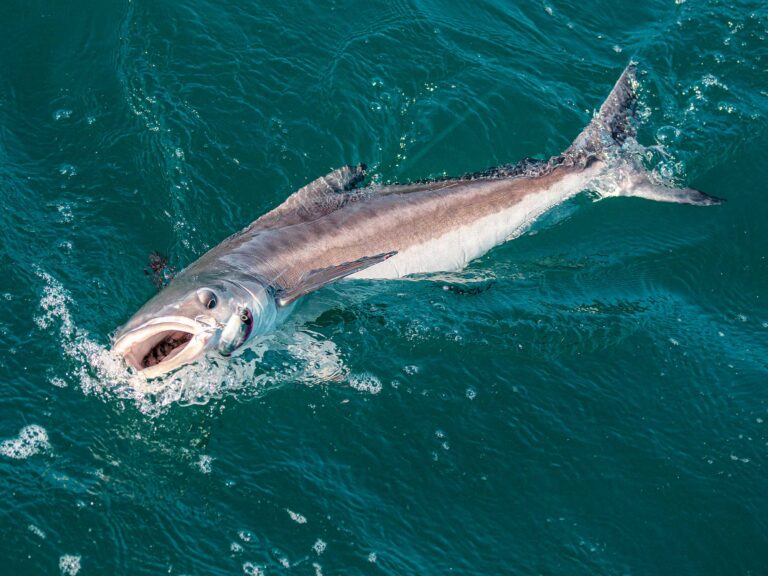
**Cobra’s Bluetooth Cell Boost
**The MR F300 BT Handset from Cobra Electronics provides complete cell-phone operation and access in a VHF-styled handset that mounts on the dash. Cobra’s MicroBlue technology syncs wirelessly via the phone’s Bluetooth capability to maintain the connection while your phone is tucked away safe and dry inside the console. The waterproof microphone/speaker handset includes all the necessary controls and features for making and receiving calls, such as caller ID display; controls for auto redial; access to your phone book; and a call log. The audio output can be routed to an external speaker or the boat’s sound system to help overcome wind and engine noise. $189.95. 773.889.3087; www.cobra.com/marine .
True View
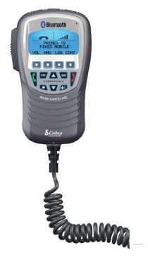
The new SC30 Satellite Compass from Furuno maximizes the accuracy of NavNet 3D, radar, chart plotters, autopilots, AIS, fish finders and sonar, compensating for less-than-ideal conditions to present a truer image on the MFD.
Of particular value to bottom fi shermen, the vertical motion sensor compensates for heaving and stabilizes the sonar return for an accurate sonar picture regardless of surface conditions. Paired with an appropriate fish finder, the SC30 removes the “sawtooth bottom” effect of rough seas. Heaving compensation eliminates the need for “Bottom Lock” modes that can mask bottom details and create wavering fi sh-target echoes.
Both NMEA 2000 and 0183 compatible, the SC30 incorporates compact GPS antennas and a built-in processor, eliminating the need for an additional display at the helm. Under $3,000. 360.834.9300; www.furuno.com.
**
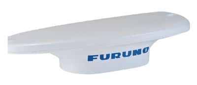
Pocket Charts**
Garmin’s new Oregon 400c is a waterproof handheld GPS combining touchscreen control with preloaded charts in a compact package. Think of it as a backup chart plotter or a portable navigator when fishing OPBs (other people’s boats).
With a high-sensitivity GPS receiver and electronic compass, the high-resolution, 3-inch color screen responds quickly with Garmin’s new HotFix, which stores satellite data to calculate positions quickly. The preloaded BlueChart g2 coastal charts, worldwide basemap and imagery cover the coastal U.S. and Bahamas. Chart detail includes shorelines, depth contours, navigational aids, harbors, marinas, port plans and coastal roads.
Weighing in at 6.8 ounces, two AA batteries provide 16 hours of power. Additional data can be added via the microSD card slot. $639.99. 913.397.8200; www.garmin.com.