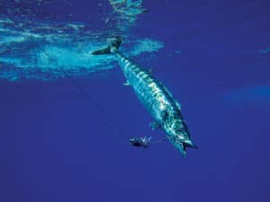
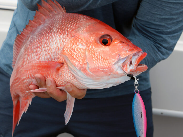
For several days, strong winds and high seas kept Capt. Ryan Farner from leaving the dock in St. Petersburg, Florida, but the forecast called for a break in the weather that would finally allow him to make the 80- to 100-mile run out into the Gulf of Mexico to target wahoo.
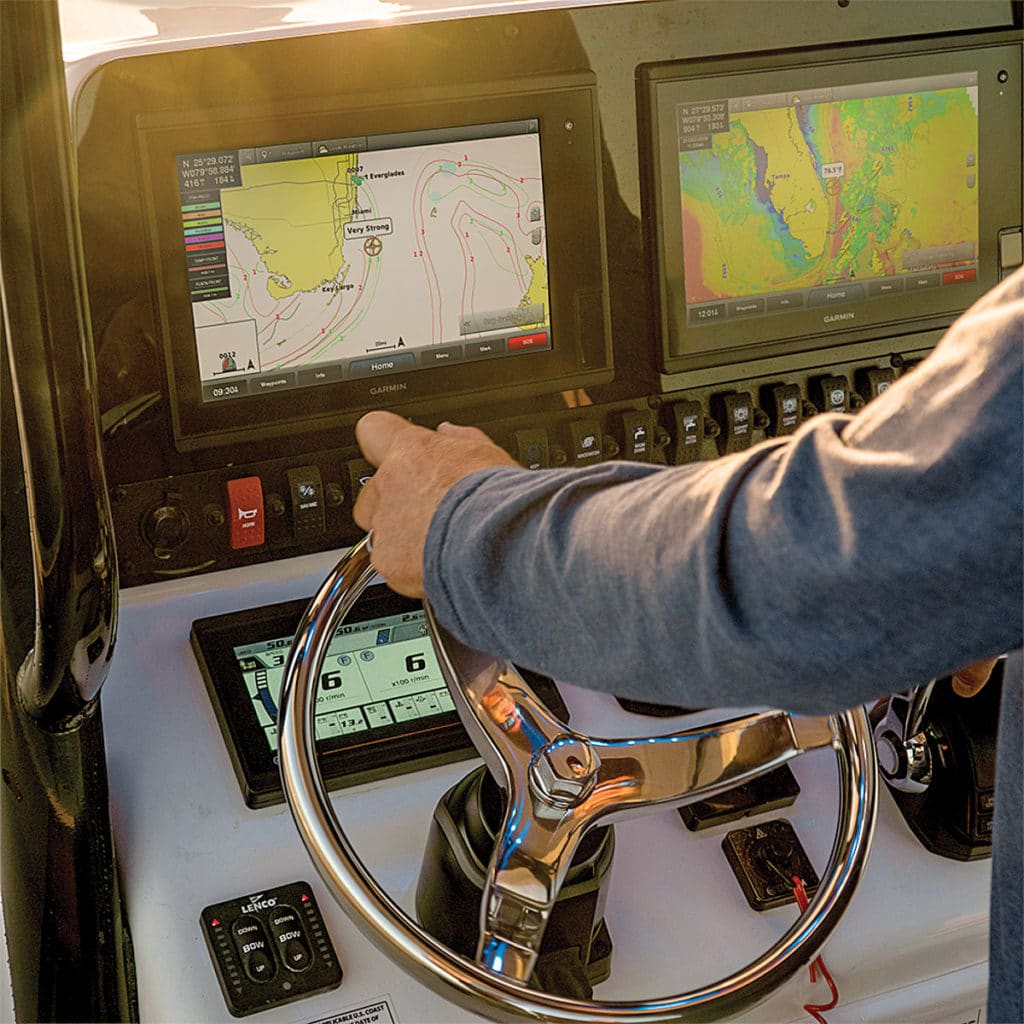
With no recent angler intel available, Farner placed calls to satellite fishing-analysis services for location suggestions. Yet to really zero in, he turned to the latest fish-finding tool available to offshore anglers: Fish Mapping, a relatively new service from SiriusXM Marine that beams oceanographic and marine-life data via satellite directly to an onboard multifunction display.
“I checked Fish Mapping on the Garmin display, and it pointed out a 2- to 3-mile-diameter area with a pink oval on the chart that would be the best zone for wahoo,” Farner explains. “When we got there, it was like opening the gates of Disneyland. I mean, wow! There were acres of blue runners and tons of blackfin tuna, kingfish and wahoo. I was blown away.”
Scientific Analysis
Fish Mapping information is processed by Maxar Technologies. A team of oceanographers at Maxar crunches the data to provide timely, easy-to-understand offshore analysis for anglers.
“Through our extensive experience in artificial intelligence and machine learning, Maxar gathers content from many sources and combines it with our powerful geospatial analytics system to deliver insights and answers,” says Jeff Culwell, Maxar’s chief product officer.
Remote Access
A big advantage of the Fish Mapping service lies in the ability to access its information through an onboard MFD even when far offshore, thanks to the SiriusXM satellite network. As with the popular and ongoing SiriusXM Marine weather service, Fish Mapping does not require internet or cellular service, but you’ll need to add a compact, lightweight antenna that fits easily on a center-console fishing boat.
You also need to subscribe. The monthly fee is $99.99, and it includes the popular SiriusXM Marine Offshore Weather package. The subscription can be suspended for up to six months each year if, for example, you don’t need it in the offseason.
Brand Partners
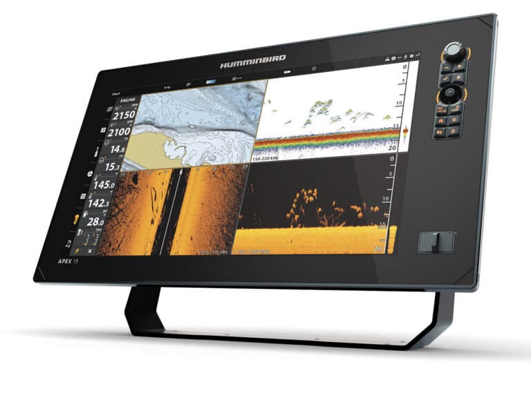
Garmin was the first to integrate Fish Mapping using a new antenna receiver (GXM54, $799.99) and software upgrades for a wide range of Garmin MFDs, including the popular GPSMap 7400/7600 and 8400/8600 series.
But Navico (the parent company of Lowrance and Simrad) announced plans to incorporate Fish Mapping with the launch of its WM-4 satellite antenna system ($449). Software upgrades for top-of-the-line Lowrance and Simrad displays scheduled for summer 2020 releases include Fish Mapping.
Furuno and Raymarine are on track to incorporate Fish Mapping in 2020, and both say satellite antennas with software updates are pending.
Fish Intelligence
Fish Mapping comes with SiriusXM Marine Weather, along with eight features (some of which can be combined onscreen) to help anglers home in on pelagic fish:
Fishing Recommendations
Updated every Tuesday and Friday at 5 a.m. Eastern time, these color-coded overlays suggest locations that Maxar’s oceanographers recommend to find specific types of fish, based on a combination of factors. Fish Mapping lists six species: bluefin tuna, mahi, marlin, swordfish, wahoo and yellowfin tuna.
Sea-Surface Height Anomaly
In areas of upwellings, the sea-surface height is higher than surrounding waters and can be measured via satellite radar. Fish Mapping shows these elevated areas, with updates every 24 hours.
Sea-Surface Temperature Contours
Updated every three hours, this feature offers a view of temperature contour lines to help locate target species based on their preferred temperature range.
Sea-Surface Temperature Front Strength
This shows areas—known as fronts—where the sea-surface temperature changes abruptly, which tend to concentrate bait. Onscreen numbers from 1 to 4 indicate the front’s strength, 4 being the strongest. Updates occur every 24 hours.
Subsurface Sea Temperature
Fish Mapping data reveals water temperatures 30 meters below the surface to identify zones with the preferred temperature range of target gamefish. Contours are updated every 24 hours.
Plankton Concentration Contours
This feature shows areas of plankton concentrations, a primary food source for bait species, updated every 24 hours.
Plankton Front Strength
Also updated every 24 hours, this data illustrates areas of high plankton concentration, where baitfish gather, next to areas with relatively little or no plankton that predators prefer. Numbers from 1 to 4 indicate the front’s strength, 4 being the strongest.
Weed Lines
Updated daily, this feature displays lines of weeds, such as sargassum, sighted recently or most likely to be forming.
More is on the way, says Geoff Leech, senior director of marine services for SiriusXM. “Fish Mapping is six months old, but anglers will see new features and more species in the in the future.”
New Electronics

JL Audio’s MVi audio amplifiers offer sound tuning, reference-grade music quality and flexible installation choices. Eight amplifiers feature integrated triple-core AKM DSP (digital signal processing) for optimization of each audio channel’s timing, frequency response and output level. MVi amplifiers are configured using JL Audio’s free TuN software on a compatible computer, tablet or smartphone. Starting at $699.99; jlaudio.com

The OLAS (Overboard Location Alert System) Guardian from ACR is a wireless engine kill switch and man-overboard alarm system. Using Bluetooth, the system stops the engines within two seconds of a person going overboard and triggers an audible alarm. It connects up to 15 crew members via wearable transmitters. The Guardian also allows a skipper to move freely around the boat. Starting at $249.95; acrartex.com
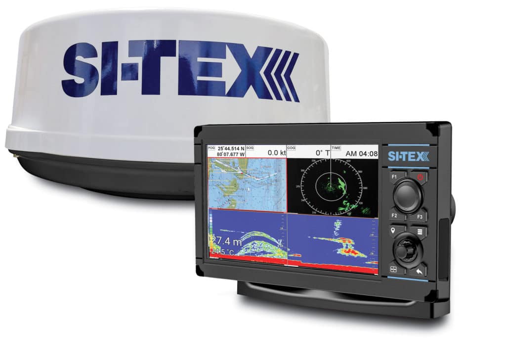
Si-Tex Marine Electronics’ Wi-Fi radar for its NavPro series multifunction displays connects wirelessly with the Si-Tex 9-inch NavPro 900 and 12-inch NavPro 1200 MFDs. The 24-inch dome radar offers 4 kW of power and a 36-nautical-mile range. The NavPro series features hybrid touch control, a 10 Hz GPS receiver, C-Map 4D charts, and a black-box or integrated chirp sonar. $1,599 for the MDS-12 radar; si-tex.com