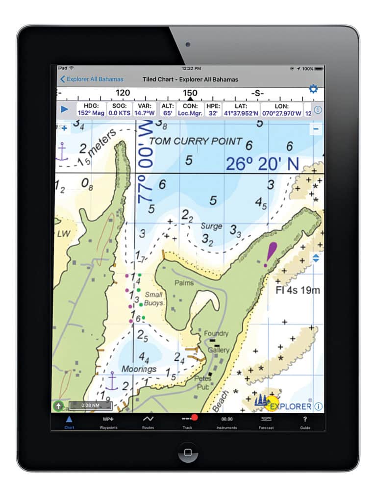
C-Map recently released its exclusive Bahamas Explorer raster charts through Fugawi X-Traverse and iNavX, the popular marine navigation app for iPhone and iPad mobile devices. The ability to purchase these detailed electronic charts is important news for boating anglers who fish the region. Now they can count on the Bahamas Explorer Chartbook for accurate, up-to-date navigational data. The charts have been developed in partnership with the Bahamas Explorer Chartbook and quilted by Fugawi for seamless use. $49.99; inavx.com or x-traverse.com


