It happens hundreds of times each fishing season – anglers run out on calm seas for a day offshore when conditions rapidly deteriorate. The return trip back to the dock goes relatively well save the most dangerous part of the trip: navigating the inlet. Now is not the time for the faint of heart, especially if you’re in one of the five most treacherous inlets along the Atlantic Coast. Here’s where they are and how to live through them.
St. Lucie Inlet, Florida
Like many of the country’s most dangerous inlets, St. Lucie Inlet in Florida is narrow, with shifting sandbars and lots of boat traffic. Too constricted to allow safe side-by-side running by big boats, the inlet should be avoided completely by small boats in foul weather, particularly in heavy east or northeast seas.
Those were the conditions when my friend, the late Captain Jim Strader, “made his bones” at St. Lucie Inlet. On that particular January day seas were running eight to ten feet and no one was leaving the marina.
“Four guys showed up with lots of brag and plenty of cash, and they wanted to go for sails no matter the weather,” Strader said. “They tried to hire me and another captain who had a boat in the slip beside me. I wouldn’t take them, and he wouldn’t either. But they kept upping the charter fee, and finally I told my pal that we might be okay if we teamed up on my 30-footer. We figured we would run out the inlet, the guys would get sick, beg to come in, and we’d come right back. That’s just what happened.
“But the waves were huge, and the cycle between them was short and uneven because of the falling tide,” Strader said. “It was so bad everyone put on life jackets, while I watched wave cycles before making my inlet run. We put the charter clients down below in the cabin. My friend stayed down there with them to make sure they didn’t leave the compartment.”
To get through the inlet, Strader chose to ride the back of a big roller and gunned the single-screw inboard. He rode the back of the wave perfectly, but only halfway through the inlet. The boat didn’t have enough power to keep speed with the rushing wave. The wave slipped under them, and the old wooden hull slid down the backside of that breaker, into the trough, and got caught on the face of the huge following wave. The boat started to surf down the face of the 12-footer until the stern turned, causing the boat to wallow, then broach.
What happened next Strader would never forget.
“The wave broke across my boat broadside as it was heeled way over on its side,” he recalled. “I almost got taken overboard. Then the boat suddenly righted itself, snapping back up like a cork shot from a bottle. That’s what catapulted me into the ocean, tossing me completely across my boat and through a heavy canvas spray shield.”
Strader’s pal immediately came up on deck, got control of the boat and miraculously guided it safely through the inlet. Fortunately another boater saw what had happened and tossed out two long lines from his stern cleats. Strader grabbed one of the lines and was towed to safety.
“That was the last time I ever owned a single-screw boat, and one that wasn’t powered to the maximum,” Strader said. “You need plenty of boat power for safety speed when running dangerous inlets.”
St. Augustine Inlet, Florida
Northeast Florida’s St. Augustine Inlet is another dangerous pathway to the Atlantic. Even in calm, summer conditions with plenty of boats running about, the place can be a trap. Because inlet navigation buoys are sometimes easily confused with buoys marking the nearby Intracoastal Waterway channel, boats frequently run aground.
“Every good captain knows the old red-on-right-returning mantra for how to navigate channel markers,” says veteran skipper Don Combs, who has lived within casting distance of St. Augustine Inlet for 25 years. “But Intracoastal Waterway (ICW) buoys near St. Augustine are set up just the opposite, because the ‘returning’ location is designated as Miami far to the south. Some of those buoys are near inlet markers. That has caused many boats to run aground inside the inlet.
I watched a 50-foot Hatteras run high and dry on Porpoise Point inside the inlet, because the skipper got the ICW and inlet buoys confused. The key is ICW buoys are marked with a big yellow band.”
|| |—| |Inlet Outs Five tips to help you get home safely* Never attempt to turn around in a rough-water inlet. * Prior to running a rough inlet, get a good idea of how the waves break before making your move.* Keep everyone off the tower when making an inlet run.* If other boaters are in the water in a rough inlet (left), tie lines to the stern cleats and make a run that will pull the lines near the people in distress.* Even if you know the inlet but haven’t run it in a while, raise a local boater on your VHF radio to learn the particular nuances of the inlet. | Complicating matters further are the jetties. The inlet opening is not well defined by jetties and can confuse even experienced anglers.
“I have a friend on a 38-foot Bertram who missed the entire inlet and ran his boat right up on the beach near the south jetties,” Combs says. “It happened at night, but was still a blunder, and he knew the inlet well.”
When bad weather blows out of the Northeast, St. Augustine Inlet can be especially vexing. Prolonged blows shift sandbars, and it can happen so quickly that the Coast Guard may not have time to move markers.
“If you get caught offshore when that’s happening, it’s best to run north to Jacksonville to get back inside,” Combs says. “Then run to St. Augustine through the ICW.”
Oregon Inlet, North Carolina
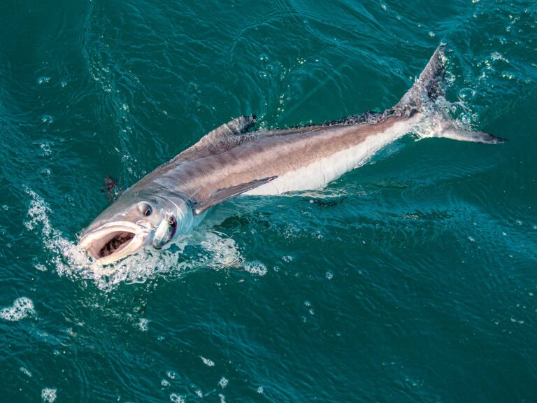
During the height of the striped bass run in November and December, it’s common for 300 boats per day to head out to Oregon Inlet.
That’s one reason Dan Willard, an avid angler and retired Coast Guardsman from the Coast Guard Station Oregon Inlet, calls it one of the most dangerous places on the East Coast.
“The water is cold and rough, and anglers chasing big stripers sometimes forget how dangerous a place Oregon Inlet can be,” Willard says. “Fishermen are working lures and baits in inlet white water, and get so caught up in the action they don’t pay enough attention to incoming waves and they get in trouble.”
Willard says five or six striper boats capsize in Oregon Inlet every fall, usually resulting in some deaths.
Oregon Inlet is most dangerous with an east or northeast wind, which causes sandbars to shift and change. Such bars and their whitewater breakers offer some of the best fall striper fishing, so they’re targeted by Oregon Inlet anglers in small boats. Naturally, this creates the potential for danger. Lose boat power at the wrong moment; have a rogue wave break at an odd angle to your boat; or get a skiff turned crosscurrent, and you can quickly get into serious trouble.
Indian River Inlet, Delaware
Located halfway between Delaware Bay and Ocean City, Maryland, is narrow Indian River Inlet – a swift-current spot that sees hundreds of boats per day during a busy summer weekend. That can be a recipe for disaster, says Andy Snyder, a local charter captain, who has 15 years experience at Indian River.
“It’s not very wide, just big enough for single-file boats to pass each other as they run in and out of the inlet,” he says. “Large bridge pilings cross the inlet and narrow the navigable water even more. During strong tides the current turns treacherous as the narrow inlet drains so much big water.”
Running Indian River Inlet can be especially dangerous at night. Last summer a boater confused a green light on the Indian River Inlet Bridge that marks the channel with the green light on a channel navigation buoy and plowed into the inlet jetties, destroying his boat.
Implausibly, this inlet seems capable of deception.
“When the tide floods, the inlet can be glass slick at daybreak,” Snyder says. “This is a real trap for a lot of people who leave early, because then the tide turns and falls, while the wind increases and seas build as the sun rises. It can quickly turn the inlet into a deathtrap, because the seas can grow to monstrous proportions. When that happens the safest way of getting back to port is through Delaware Bay via Roosevelt Inlet.”
Chatham Inlet, Massachusetts
On Cape Cod, Chatham Inlet is widely known as a great fishing spot that demands careful boat handling.
“And that’s especially true when we have a bit of ‘Cape Cod liquid sunshine’ – ‘fog’ is what most people call it,” says Mike Andolina, a longtime striped bass charter captain who sometimes minds the store at Fishing the Cape tackle shop in East Harwich. “Chatham is a wide inlet. But the channel is narrow, and there are shifting sandbars that make it plenty hairy in an east wind. In good weather the inlet looks calm and peaceful and that gets some people into big trouble. They run out and the inlet is calm. But the weather changes while they’re fishing.
“Chatham has world-class striper fishing, and the lure to get those bass makes some people do things they otherwise wouldn’t,” Andolina says. “Last year, a guy ran into fog in the inlet, got disoriented and left the channel. That’s when his boat got into rough water near a sandbar. It turned sideways to the seas, flipped, and he got tossed into the water.
“His boat broke into pieces, but fortunately he was able to grab a floating cooler. When the water temperature is 50 degrees, you can’t last long. Luckily, other anglers saw his boat debris and saved him. He was fine, because he only was in the water for 30 minutes.”
Running Chatham Inlet isn’t especially difficult, Andolina concludes, so long as boats stick to white markers denoting the center of the channel, and watch that east wind.